
West Hartford ZIP Code Areas
The town’s official description assigns four named street ZIPs to broad parts of West Hartford. These are useful orientation labels, not precise postal boundaries. Trout Brook Drive, Prospect Avenue, Elmwood, West Hartford Center, and Bishops Corner help a reader understand the pattern. USPS remains the authority for one delivery address, while a town parcel search determines whether the land is actually in West Hartford.
| ZIP Code | Areas Covered | Post Office | Notes |
|---|---|---|---|
| 06107 | West Hartford Center and generally west of Trout Brook Drive | Not located in official sources | Standard street ZIP; verify each address |
| 06110 | Elmwood and the southeast and southwest parts of town | Not located in official sources | Postal line is not a quadrant boundary |
| 06117 | Bishops Corner and the northeast and northwest parts | Not located in official sources | Edge addresses need USPS review |
| 06119 | Central and eastern area from Trout Brook toward Prospect Avenue | Not located in official sources | Town description is approximate |
| Unnamed fifth ZIP | Not identified on the inspected town page | Not located in official sources | Do not infer or invent it |
The West Hartford About page says there are five ZIP codes, then lists only four. The Connecticut DPH map also displays those four and shows adjacent labels. No inspected official source named a separate fifth ZIP, a PO-box-only ZIP, a unique-institution ZIP, a serving post-office station, or a per-ZIP resident count. The West Hartford ZIP code directory preserves that gap instead of guessing.
Each description should be read as “generally,” the word used by the town’s geography. The 06107 area is not defined by a hard line at Trout Brook in this source, and the quadrant language for 06110 and 06117 does not replace an official delivery lookup. Likewise, the 06119 phrase from Trout Brook east to Prospect Avenue is a plain local description rather than a parcel-by-parcel rule. Edge addresses need the full sequence of USPS, parcel, and municipal checks.
West Hartford's Five-ZIP Quirk
One official town sentence reports five ZIP codes, but its own list names 06107, 06110, 06117, and 06119. That mismatch is a useful warning about copied ZIP lists. An unlabeled fifth entry should not be filled from memory or a commercial directory. It may reflect a special mailing arrangement, an old count, or some other category, but the inspected sources did not say.
The town source is still valuable because its four area descriptions are specific. Pair those descriptions with the DPH map and an individual USPS check. If later official material names the fifth code, preserve the publication date and status. Until then, four verified standard street ZIPs are more useful than five entries with one unsupported row.
The DPH WIC map adds surrounding context without settling the mystery. It labels nearby Hartford, Farmington, Newington, and other postal areas around West Hartford. A label crossing the visual edge of a town map should prompt a check, not a conclusion. Postal routes, generalized map shapes, and municipal borders are maintained for different purposes and can be revised on different schedules.
Local quirk. West Hartford officially says five ZIP codes but identifies only four, so the unnamed fifth remains an explicit research gap.
Verify West Hartford ZIP Addresses
The USPS ZIP Code Lookup has three distinct modes. By Address verifies a delivery point. By City and State returns postal associations. Cities by ZIP reverses a five-digit code into associated city and state information. USPS also warns that a result does not confirm a person or company, so it belongs at the geography stage of a ZIP code lookup.
| USPS field | Required | Use |
|---|---|---|
| Company | No | Optional organization name |
| Street Address | Yes | Main delivery street |
| Apt/Suite/Other | No | Secondary unit information |
| City and State | Yes | Postal city and state selection |
| ZIP Code | No | Optional narrowing value in address mode |
| Cities by ZIP | Yes | Five-digit reverse association |
The official form shown below is the postal source behind each address check in this West Hartford ZIP code directory.
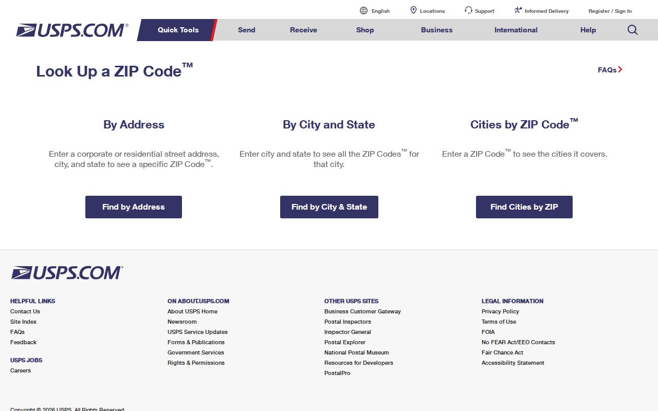
If multiple addresses match, add the unit or correct the street spelling. Then carry the full verified address into the assessor, GIS, or court system rather than treating the ZIP alone as proof of a resident.
Units matter in West Hartford. The assessor street listing includes lettered address suffixes, so a bare street number may point to more than one listed record. Enter apartment, suite, or other secondary data in USPS when it is known. In the property search, preserve the MBLU and parcel ID for the chosen result. Those identifiers are far more precise than grouping every person or parcel under one five-digit code.
Read West Hartford ZIP Geography
West Hartford covers 22.2 square miles and has 205 miles of accepted streets. The town’s distinct activity areas include West Hartford Center, Blue Back Square, Bishops Corner, Park Road, Elmwood Center, the Home Design District, and Westfarms. Those names explain why the four ZIP descriptions work as orientation. They do not create delivery rules.
The municipal description used for the ZIP coverage table is pictured from the official West Hartford town page.
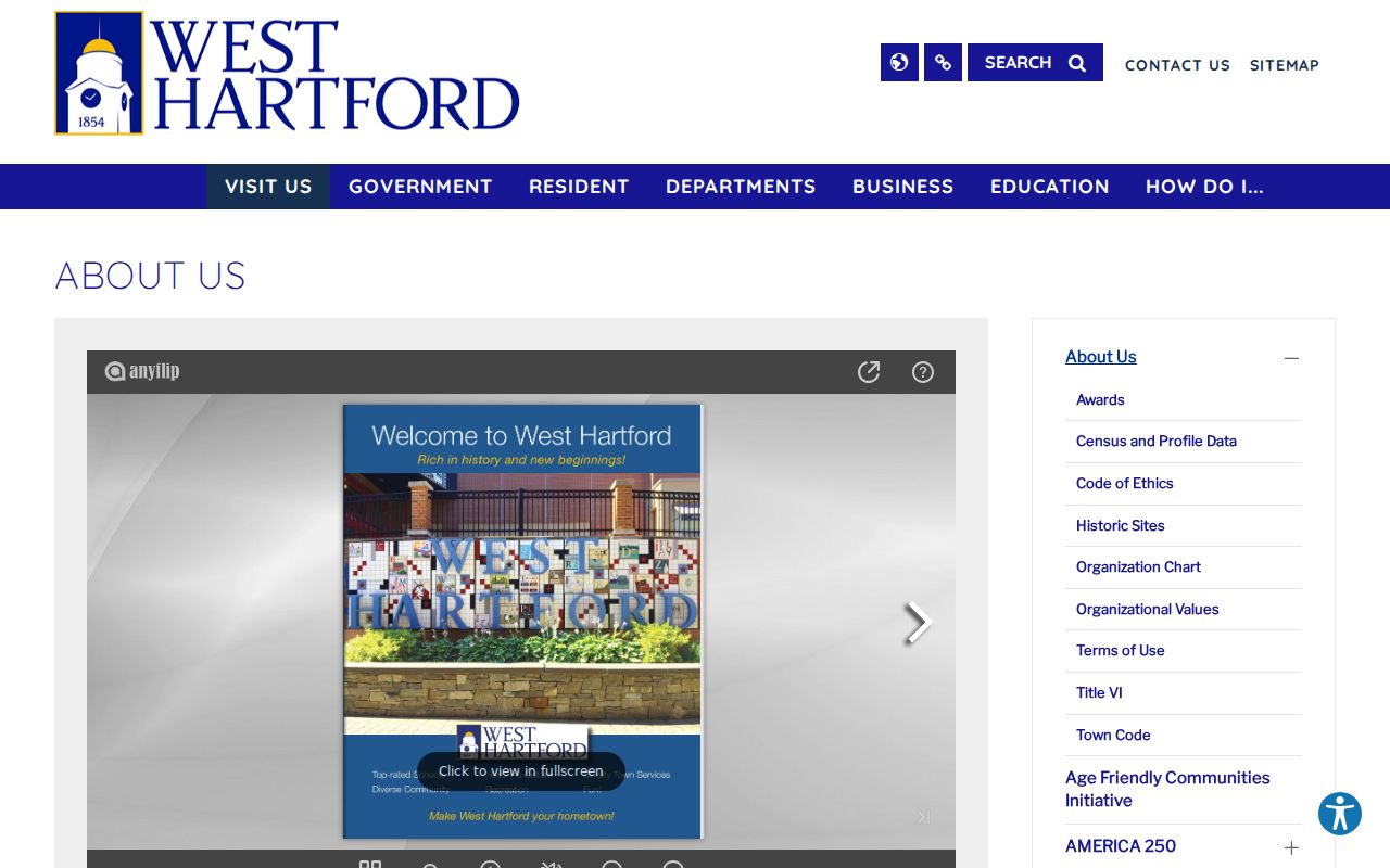
The town page gives useful local terms such as Trout Brook and Prospect Avenue. Always return to USPS for the postal result and to the town assessor for municipal parcel status.
Topography and street density add another reason to avoid broad assumptions. The town rises from the Town Hall area toward Talcott Mountain and includes both dense commercial corridors and quieter residential streets. One postal code can span more than one kind of district. A person searching the West Hartford ZIP code directory should use a full street and unit whenever possible, then let the parcel map show the exact lot.
West Hartford’s named centers also overlap ordinary navigation terms. A listing may say Center, Elmwood, or Bishops Corner without making that phrase part of a formal postal address. Use those names to orient a map search, not to replace the city, state, and ZIP fields required by USPS. This distinction is small but prevents many false “not found” results.
Find West Hartford Residents by ZIP
Official systems handle ZIP input in different ways. The West Hartford VGSI assessor search has no visible ZIP field. It accepts address, owner, parcel ID, Vision ID, and MBLU, while its street listing supports a street-by-street browse. MapGeo supplies map context, but its inspected shell did not verify a ZIP filter. The Judicial property-address search accepts an optional full five-digit ZIP for qualifying cases. The public voter lookup is not an unrestricted ZIP directory.
- Verify the complete delivery address and five-digit ZIP through USPS.
- Search the street address in West Hartford VGSI, then save the situs, mailing address, parcel ID, and MBLU separately.
- Open MapGeo and town district maps to test whether the parcel sits inside West Hartford and which service boundaries surround it.
- Use the Judicial property-address ZIP field only when a qualifying public case is relevant.
- For a voter matter, use the SOTS public lookup or permitted request process and honor all protected-address limits.
Once the ZIP narrows the area, the West Hartford street directory explains the address-led parcel chain. A ZIP-wide result never identifies all residents. The assessor names tax owners, the court filter returns only applicable cases, and Census ZCTA data gives generalized statistics rather than names.
The voter system requires equal care. Connecticut maintains a centralized registration system, but the public lookup is designed for an individual registration question, not a public ZIP export. The complete data-file route costs $300 and requires a signed permitted-use statement. Protected voters and Safe at Home participants are not exposed through ordinary results. Even a lawful voter match describes registration status and public district context, not every person at an address.
Filter West Hartford Court Addresses
The Connecticut Judicial property-address search is the clearest official portal with a ZIP control. City/Town is required and accepts partial text of at least three characters. Street Address is optional. ZIP Code accepts an optional full five digits. Property Type can be residential, commercial, or all, and Case Status can be active, disposed, or all.
Its result set is narrow. It covers applicable foreclosure and other property matters under stated start dates and retention rules. It does not return all owners, all addresses, or a roll of people in 06107 or 06117. Use the ZIP field to narrow the case question, then verify the official docket with the clerk.
The case portal’s address result can also age out under Judicial Branch rules. Certain public entries disappear after disposition, and the website is not the official court file. Save a docket number when one appears, note the date of the search, and contact the Hartford Judicial District clerk for the authoritative record. A missing case result says nothing about whether an address is valid for postal delivery.
| Portal | ZIP control | What it can return |
|---|---|---|
| VGSI assessor | No visible ZIP field | Owner and parcel results by other keys |
| MapGeo | Not verified in inspected shell | Map and property context |
| Judicial address search | Optional five-digit field | Qualifying public cases |
| USPS | Yes | Postal address and city associations |
| Census ZCTA | Statistical geography | Generalized population data, not names |
Compare West Hartford Service Maps
A ZIP boundary answers a delivery question. West Hartford’s GIS map library answers other geographic questions through street, voting district, school, fire, refuse, park, and year-built maps. These layers can explain why two nearby homes share a ZIP but fall in different voting or service districts. They should never be used as substitutes for a postal address result.
The West Hartford MapGeo viewer pictured below helps connect postal geography to town parcels.
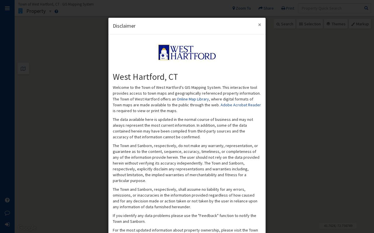
Open the parcel card after locating the shape. Map disclaimers and date stamps matter, especially during the town’s 2026 revaluation, when value notices and property data may change.
West Hartford began 2026 revaluation data collection in fall 2025, with new value notices expected in November 2026. That change does not alter a postal ZIP, but it can change the date and value shown on a parcel card used in a ZIP-led search. Save the card date and do not treat an older assessment as permanent. The map and card should support address verification, while the Town Clerk’s recorded document remains the source for a deed.
Note: District, school, fire, and refuse maps describe public service areas; none identifies every person who lives inside a ZIP code.
Separate West Hartford ZIPs and ZCTAs
The Census Bureau builds ZIP Code Tabulation Areas, or ZCTAs, as generalized statistical shapes. USPS ZIP codes are delivery constructs that can change as routes change. A ZCTA is useful for population tables and broad comparison, but it is not a directory of current postal routes or residents. This distinction is especially important near the West Hartford line.
The Census ZIP and ZCTA guidance shown here explains how to find statistical data by generalized ZIP area.
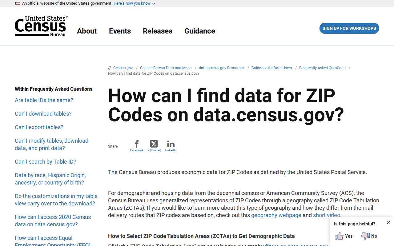
Use the Census source for statistics, USPS for delivery, and West Hartford records for parcels. Keeping those roles separate prevents a generalized map from becoming an unsupported claim about one address.
Population counts were not located in the research for each of the four West Hartford ZIPs, so no total is assigned to a row. A later Census table may provide ZCTA counts, but those figures should be labeled as ZCTA statistics and dated. They should not be presented as the number of residents served by a postal route. The town-wide population is also not a substitute for four ZIP-level totals.
The same rule applies to voter and property counts. Neither the public voter tool nor the assessor offers a verified open ZIP-wide count in the inspected interface. Counting search results outside those systems could join stale records or addresses over the boundary. Report only what the official system actually returns, along with the field, date, and geographic definition used.
West Hartford ZIP and Town Limits
Postal geography and municipal geography can disagree. The DPH WIC map shows West Hartford’s four named ZIP labels beside 06105, 06106, 06112, 06001, 06002, 06032, 06109, and 06111. Those neighboring labels are clues for an edge address, not proof that a parcel is outside town. Verify the full address through USPS, then check the parcel in VGSI or with the West Hartford Town Clerk.
A tax mailing address can also differ from the situs, the physical location of the parcel. The mailing address may be an out-of-town office or post box. A deed may use a lot or legal description instead of familiar postal wording. Preserve each field separately, since a ZIP code directory cannot settle ownership or occupancy on its own.
- ZIP vs ZIP+4
- A five-digit delivery area versus a more precise four-digit add-on for a delivery segment.
- PO-box ZIP
- A code assigned primarily to post-office boxes rather than ordinary street delivery.
- Unique ZIP
- A code assigned to one high-volume organization or institution.
- Carrier route
- A group of addresses served along one postal delivery route.
No inspected official source identified a PO-box-only or unique ZIP specifically for West Hartford. Those terms explain the geography, but they are not claims that the town has one. The safest order is postal verification, parcel confirmation, then the record search tied to the reader’s lawful purpose.
When VGSI finds no matching address, test spelling, directional terms, and unit suffixes before changing the town. Next compare the adjacent ZIP labels on the DPH map and ask whether the postal city differs from the municipality. If the land is in West Hartford, the assessor or Town Clerk can help reconcile its current address with a legal description. If it lies across the line, use that municipality’s custodian. This fallback keeps the West Hartford ZIP code directory focused on verified geography.