
Start the West Hartford Street Directory
A sound street search moves from the most precise public address record to sources that add context. West Hartford's assessor identifies a parcel and its tax owner. MapGeo shows where that parcel sits. The Town Clerk holds the deed that supports the recorded interest. Voter and historical sources may then connect a person with the address, subject to their own rules. No step alone identifies every resident. Keep a source date beside each result because ownership, assessment data, and registrations change on different schedules.
- Enter the house number and street in the Vision property search. Save the situs address, owner, parcel ID, MBLU, and deed book/page.
- Open the street listing and each relevant parcel card. Then use MapGeo to see adjoining lots and public district context.
- Confirm the recorded owner through the West Hartford Town Clerk. If RecordHub does not expose the needed index, use the counter or a written request.
- Use CityView for dated permit evidence. A qualifying Connecticut court matter can also be searched by property address.
- For resident clues, use lawful voter channels and the library's historical directory shelf. Label each name as owner, registrant, subscriber, or directory entry.
This West Hartford street directory flow runs from address to parcel, parcel to owner, owner to deed, and then address to dated resident evidence. It prevents a tax mailing contact, business entity, or old directory subscriber from being presented as a current household member.
Search the West Hartford Street Directory
The assessor's free search supports both one-address checks and a whole-street sweep. Use Address for a known number. Use Street Listing when the goal is to move in order along a road. Farmington Avenue results show why this matters: the list includes suffix forms such as 888A, 888B, 888C, 894A, and 1092A. Omitting the suffix can lead to the wrong card.
| VGSI control | Input | Best street use | Format note |
|---|---|---|---|
| Address | Optional text | Start with number and street | No exact format shown |
| Owner | Optional text | Confirm a person, estate, trust, or entity | Try recorded wording |
| Parcel ID | Optional text | Reopen a mapped parcel | Sample: 1891 2 668 0001 |
| Vision ID | Optional text | Use the assessor identifier | Numeric identifier |
| MBLU | Grouped fields | Match map, block, lot, and unit | Separate cut and unit fields |
| Street Listing | Alphabetic browse | Open each listed address | Streets run A through Y |
The page also offers Sales Search. Past Owner and General Search controls were present during inspection, but their public historical behavior was not clear enough to promise. A West Hartford street directory should use only visible, verified functions.
West Hartford Street Records Compared
Each address source answers a different question. The assessor and map give the best public starting point. A recorded instrument is stronger evidence of title. Permit and court entries add events tied to an address. Historical books may name subscribers or householders, while voter access is regulated and never reveals ballot choices.
| Address source | Custodian | Useful result | Access path |
|---|---|---|---|
| Parcel card and street list | West Hartford Assessor | Tax owner, mail, values, book/page, building facts | Free VGSI and office help |
| Parcel map | Town GIS | Lot position and public districts | Free MapGeo and map library |
| Deed, mortgage, or lien | West Hartford Town Clerk | Parties, instrument, description, dates | RecordHub, counter, or request |
| Permit history | Building and land-use offices | Status, inspections, project history | CityView and older documents |
| Property case | Connecticut Judicial Branch | Qualifying case status and parties | Public address search |
| Historical clue | Noah Webster Library | Name, address, trade, phone, or map label | Local History Room |
Use parcel ID and book/page as durable links between systems. Street spelling joins permit, court, and library searches, but it is less stable when an old road name changed.
Note: West Hartford has no operating county recorder; municipal land records remain with the Town Clerk at Town Hall.
Read West Hartford Parcel Language
Three address fields that look alike can point to very different places. On the inspected card for 668 Farmington Avenue, the situs is in West Hartford, while the owner is an LLC and its tax mail goes to an Illinois post office box. The card does not identify an occupant. It does provide MBLU, parcel ID, a 2003 book/page reference, values, a building description, an image, and a sketch.
- Parcel
- A defined piece of land used by assessor and map systems.
- Situs address
- The physical parcel location, distinct from the tax mailing address.
- Plat
- A recorded map of lots, lines, roads, or a subdivision.
- Criss-cross directory
- A directory arranged by street or address instead of only by surname.
This is a useful street-directory quirk. A clean official card can answer ownership and location questions without answering who lives there. Quote the field label with its value.
The West Hartford real-estate assessment page explains the public card, sale-book, and deed-reference route.
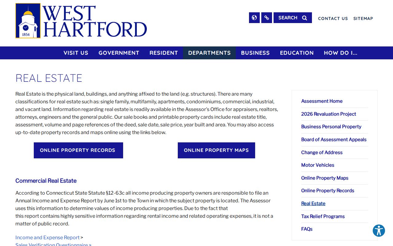
The municipal page confirms what the assessor holds and points users to office help as well as the public portal.
See West Hartford Street Directory Results
The VGSI street listing shows the alphabetic route used to browse a road instead of guessing house numbers.
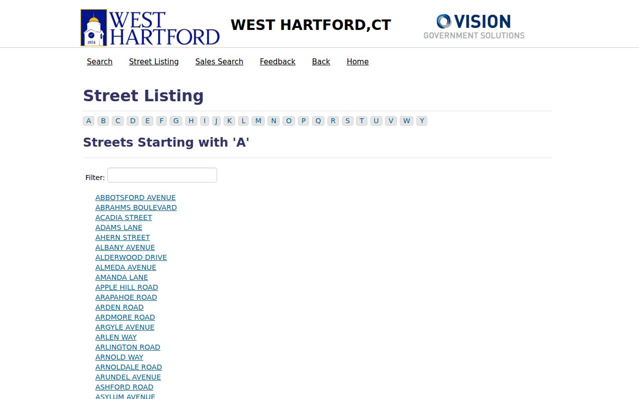
The listing turns a street name into parcel links, helping catch unit and letter suffixes.
A linked West Hartford parcel card shows the difference among a situs, tax owner, and mailing contact.
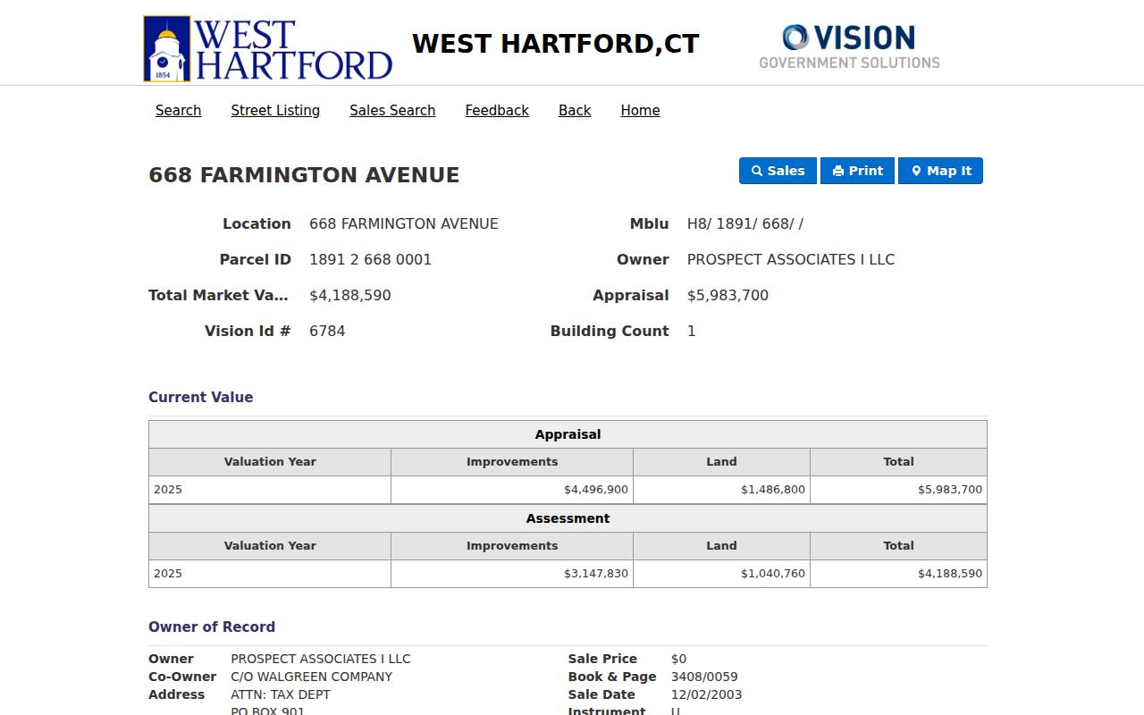
The parcel and book/page fields can carry the search into Town Clerk records.
Map Parcels Along West Hartford Streets
West Hartford MapGeo supplies Property Quick Search, Zoom To, Share, and Print controls. Move from a known lot to adjoining shapes, then reopen each official card in VGSI. The viewer warns that data may not be current and says to verify ownership with the Town Clerk or online records.
The printable GIS library adds street, voting, fire, school, park, refuse, and year-built maps. Those layers show public geography, not private occupants. West Hartford has 205 miles of accepted streets and 245 miles of sidewalks, so district context helps when a road crosses several local areas.
Note: Record the date of every map view because parcel and district layers can change on separate schedules.
Confirm West Hartford Street Ownership
The Town Clerk records deeds, mortgages, liens, easements, and maps. The town's land-records page points to Cott RecordHub. Inspection showed account, subscription, help, and request controls, but no public West Hartford search form or cutoff. Do not infer a missing deed from an empty portal view.
The dependable fallback is the Town Clerk at 50 South Main Street, Room 313, or a written request. Land documents are accepted weekdays from 8:45 a.m. to 4:15 p.m. Copies cost $1 per page, and certification adds $2. Staff can confirm a book, map, or instrument, though they cannot draft deeds or give legal advice.
The official town access page shows that local route.
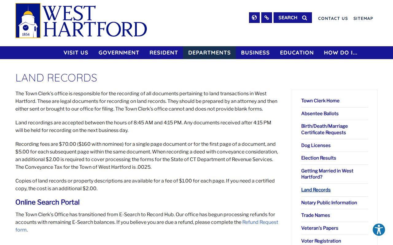
That page is the key fallback when the index shell does not reveal a record.
Match West Hartford Addresses to Events
The CityView permit portal offers application status, inspections, and property history. Filing and payments need an account, while kiosks and staff help are available. Older permits use a separate documents route. Because public fields and the cutoff were not visible, treat CityView as dated project evidence, not a full building history.
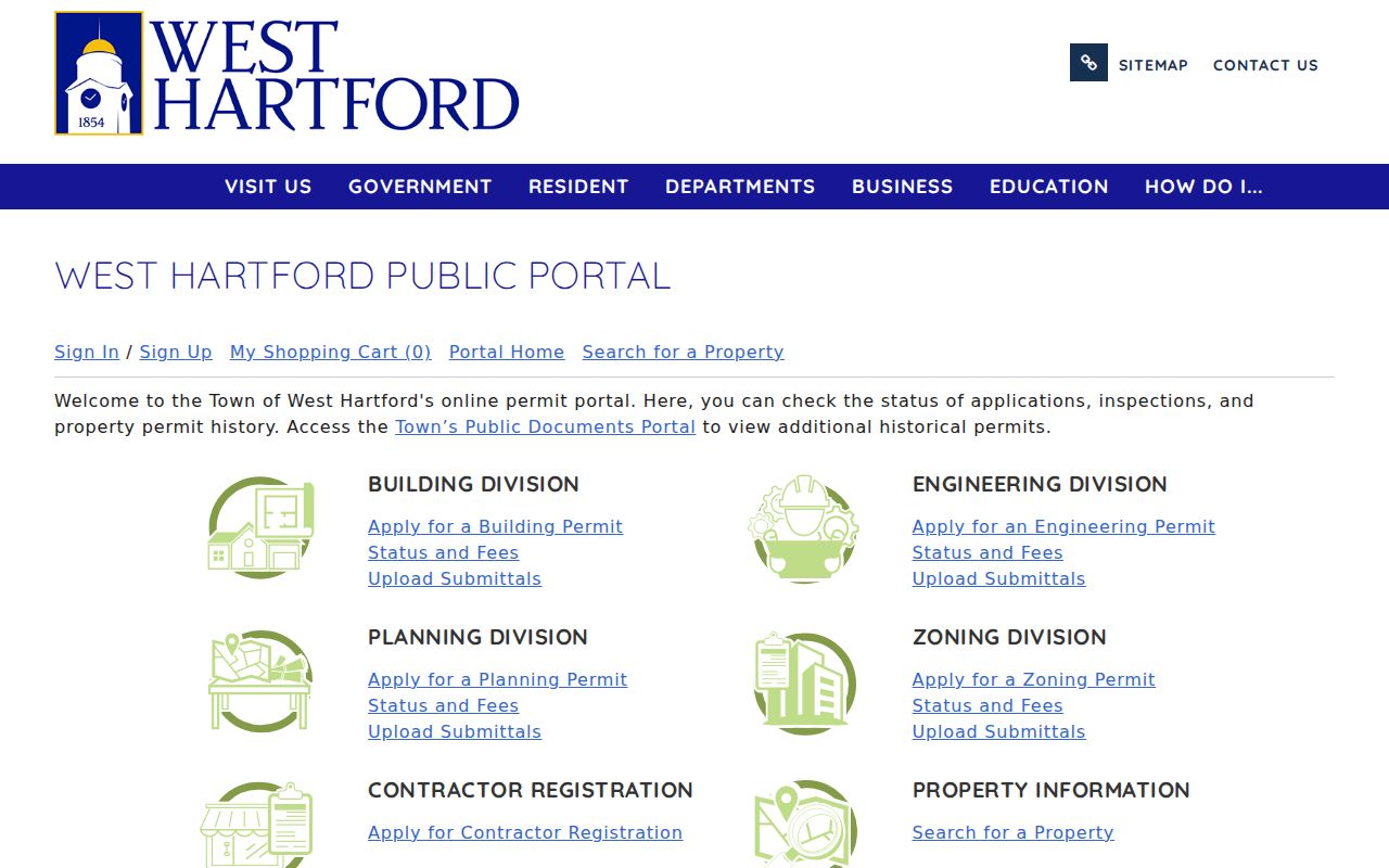
The screen confirms the official permit route and its account boundary.
Connecticut's property-address case search accepts town, partial street, ZIP, property type, and case status for qualifying matters.
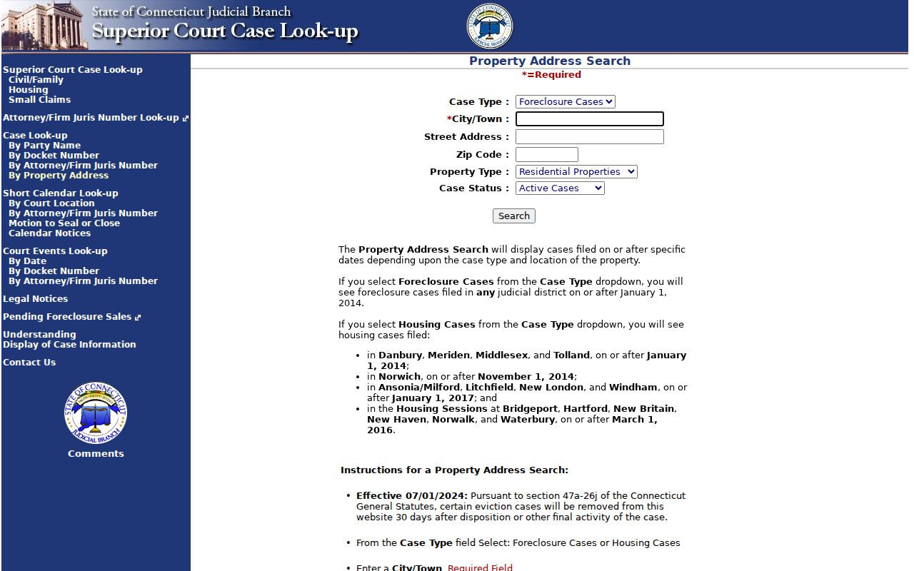
A case is a dated cross-check, not a title chain or resident roll.
Handle West Hartford Voter Addresses Carefully
The Connecticut Secretary of the State has an online lookup and a separate written voter-file process. Public fields may include name, residence or maintained mailing address, party, status, district, and participation history. Ballot choices are never disclosed. Protected voters and Safe at Home participants are excluded from ordinary public results.
A full file request costs $300 and requires certification for permitted election-related, scholarly, journalistic, political, or governmental use. The form bars private, commercial, marketing, harassment, and republication uses. There is no unrestricted public by-street query. For errors, contact the Town Clerk; an FOI request cannot override privacy law.
Bridge West Hartford Street Name Changes
Address continuity is not guaranteed. West Hartford's code lets the Director of Community Development assign or reassign numbers. Historic or honorary renaming requires a petition, hearing, commission action, Town Council review, and notice. A local account tied to Dinah Road reported more than 25 street-name changes from 1890 through 1930.
When an old address vanishes, compare the library's 1896 and 1909 atlas plates, the verified 1923 Sanborn set, deeds, plats, and directory indexes. Try an old spelling, nearby number, and the broader Hartford label. The full shelves belong to the West Hartford city directory collection; here they bridge a street label.
Note: Never convert an old number to a modern parcel without matching the map, legal description, and surrounding lots.
West Hartford Street Directory Limits
No source is a complete current household list. An assessor card names a tax owner. A deed names recorded parties. A voter record identifies a registrant within strict rules. A telephone or city directory names a subscriber or printed householder in one edition. Other household members may appear nowhere.
Mailing addresses can belong to agents, trustees, estates, or business offices. Permit applicants and court parties may have only a dated tie to the site. A street directory works best when every name retains its role and date. Private utility customer and motor-vehicle address data are not substitutes for public records.
Lawful use. Use West Hartford address records only for lawful personal research. Never use a street search to stalk, harass, threaten, or harm another person.
When the work narrows to one person, the resident lookup workflow shows how to compare independent official records without turning an address hit into an unsupported claim.
West Hartford maintains about 205 miles of accepted streets and 245 miles of sidewalks. That scale makes a documented street sweep more dependable than a broad name query. Record each house number, suffix, parcel ID, and skipped number as you move down the assessor listing. Voting, school, fire, refuse, and year-built maps can then add geographic context, but those service layers never identify a household or replace the parcel card.