
West Hartford Block Record Layers
A reliable neighbor lookup separates physical proximity from ownership and residency. MapGeo shows parcel geometry. VGSI provides assessor records. Town maps add voting, school, fire, park, and collection districts. Community associations describe public activity, not private households.
| Source | What it shows about a block | Access |
|---|---|---|
| MapGeo parcel viewer | Parcel outlines, position, search, print and share context | Free online; verify each parcel |
| VGSI Street Listing | Addresses in sequence, MBLU links, parcel cards | Free online street browse |
| Assessor card | Owner, mailing address, values, building and sale facts | Free online and Assessment Office |
| Printable town GIS maps | Streets, schools, fire, parks, voting, refuse, year built | Free PDF maps |
| Voter records | Limited registration fields under controlled access | State lookup, registrar, restricted file request |
| Associations | Public contacts, meetings, events, business members | Town and group sites |
The record owner may not occupy the parcel. A renter may not appear on the assessor card. “Neighbor” should first mean a nearby parcel, then a person only when another lawful source supports that connection.
Map West Hartford Neighbor Parcels
Search one address in the West Hartford MapGeo viewer. Zoom to the parcel and note which lots touch it or sit opposite it. Save the view with its print or share control. The viewer warns that data changes in the normal course and should be checked with the Town Clerk or official records.
The unattended inspection did not expose the complete live layer list or prove a buffer or radius tool. Use visible parcel boundaries. If a parcel can be selected, inspect it; otherwise transfer its address to VGSI. Never infer the owner from a label placed near a boundary.
Open the live parcel viewer before studying this captured map.
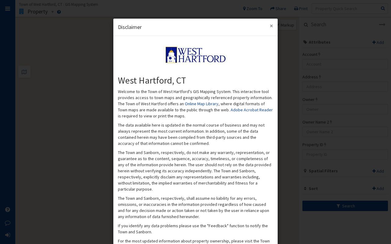
The map supplies geometry. The next step is to verify each nearby parcel in the assessment records.
Verify West Hartford Neighbors Nearby
The VGSI Street Listing creates a repeatable block walk. Pick the street, locate the known number, and move through nearby numbers and suffixes. Farmington Avenue, for example, includes patterns such as 888A, 888B, 888C, 894A, and 1092A. One apparent street number can represent several records.
- Search the starting address in MapGeo and mark touching and opposite parcels.
- Open its street in VGSI and find the surrounding address sequence.
- Open each parcel card separately. Save the MBLU, owner, co-owner, and physical address.
- Compare the tax mailing address with the situs. Do not treat an out-of-town mailing contact as an occupant.
- At an intersection, repeat the process under the cross street and use the town street map to close the block.
A block can include businesses, multifamily sites, condominiums, open land, and public parcels. The full named-street chain is covered on the West Hartford street directory page; neighbor research should stay focused on the immediate ring.
- Parcel
- A mapped unit of land in the assessor system.
- MBLU
- A map, block, and lot identifier that distinguishes parcels when addresses are similar.
- Situs address
- The physical location of the parcel.
- Mailing address
- The place where the owner’s tax mail is sent.
Place West Hartford Blocks in Context
The town’s printable GIS library adds public context that parcel cards do not. Available maps cover streets, elementary schools, middle and high schools, fire stations and districts, neighborhood parks, refuse collection, voting districts, and building age from the 1900s through the 2010s.
These maps answer service and boundary questions. They do not identify private occupants. West Hartford has 205 miles of accepted streets and distinct centers such as Bishops Corner, Elmwood, Park Road, the Center, and the Home Design District. A block search near one of those areas may include both homes and commercial parcels.
Check the town map library before viewing the captured menu.
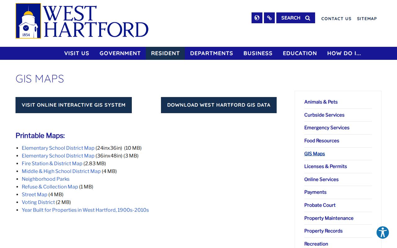
The menu helps choose the right public district map after the parcel ring is known.
Note: A school or voting map assigns an address to a district; it does not disclose who lives at that address.
West Hartford Voter Block Limits
Connecticut does not provide an unrestricted public by-street voter roster through the inspected web route. The Secretary of the State voter page offers registration tools and a person-level lookup. A missing or incorrect match can be taken to the West Hartford registrar or Town Clerk.
The centralized file can contain a voter’s name, residence and mailing address, party, status, district, and participation history. It never shows ballot choices. Month and day of birth are protected in the voter-file context, while protected voters and Safe at Home participants are withheld or substituted.
A statewide voter-file request costs $300 and requires a signed permitted-use certification. The form bars private or commercial use, advertising, sale, display, reproduction, and harassment. A public-record request cannot defeat those privacy rules. For neighbors, do not build or publish a block roster from voter data.
Protect the block. Use public neighbor records for civic or personal curiosity. Never expose a protected address or use a name to stalk or harass anyone.
Meet West Hartford Civic Neighbors
The town’s business-association page lists groups for distinct activity areas. Their public contacts, events, and meetings can explain community life. None is a verified complete household directory.
Review the town association list before viewing its captured page.
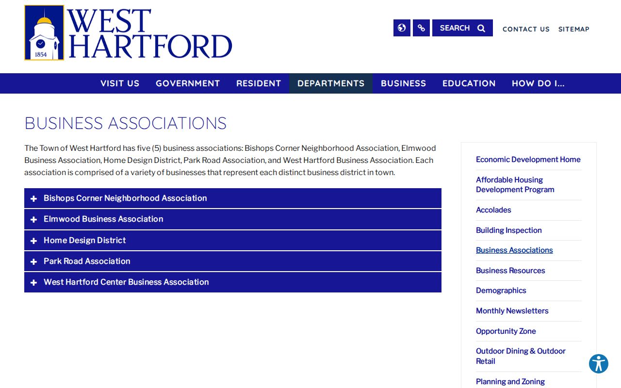
The town list establishes which groups serve named activity areas and where public contact begins.
| Group | Area or membership | Public information |
|---|---|---|
| Bishops Corner Neighborhood Association | Residents, businesses, nonprofits, advocates | Goals, events, news, committees |
| Elmwood Business Association | Elmwood firms | First-Friday meetings and email contact |
| Home Design District | New Park Avenue businesses | Group identity and meeting schedule |
| Park Road Association | Businesses, owners, residents | Meetings, parade, awards, civic updates |
| West Hartford Center association | Center retail and business district | Business and community information |
Open the Bishops Corner Neighborhood Association site before viewing its captured home page.
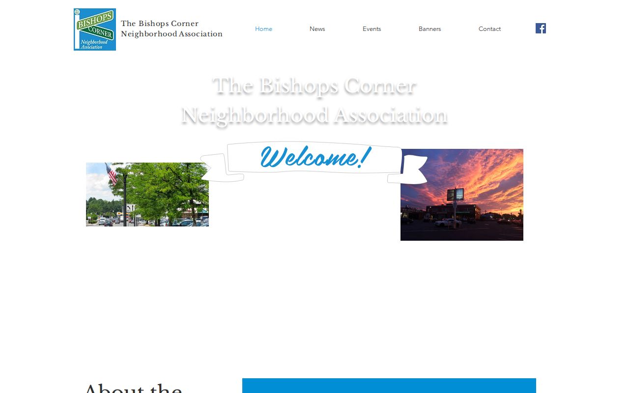
The group publishes public programs rather than a household roster, which keeps its community role distinct from a resident lookup.
West Hartford Business Neighbors
The West Hartford Chamber of Commerce maintains a searchable business directory. The inspected directory reported 607 results. It can help distinguish stores, services, and other commercial neighbors near a mixed-use block.
Visit the Chamber’s official site before viewing the captured home page.

The Chamber home page leads to programs and contacts that help place a commercial block in civic context.
Open the Chamber directory before viewing its captured search screen.
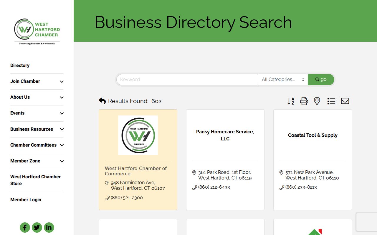
The results describe participating firms and public contacts. They are not a list of residents, staff, or all organizations on the block.
Official parcel and association sources differ from commercial neighbor tools. Official records state a defined fact from a custodian and offer a correction route. Commercial compilations may merge people, stale addresses, and unknown sources. Use the official roll for ownership and the association page for public civic ties.
Historical West Hartford Block Clues
Current neighbors are only one layer. The library’s Historypin project, West Hartford Places and Faces, accepts old photographs of homes, streets, public buildings, and events. Noah Webster House collections include architectural surveys, neighborhood histories, and local photographs dating from the late 1800s through 2009.
Yearbooks from 1929 onward, newspaper files, veterans’ papers, First Church historical records, and State Archives indexes can connect a person to an old civic event or institution. A caption or roster does not prove current residence. Keep its date and context attached.
West Hartford’s varied street network also means modern block geometry may not match an old scene. Street-number reassignment and more than 25 reported name changes from 1890 to 1930 can shift the address. Compare maps before assigning an old image to today’s neighbors.
Privacy for West Hartford Neighbors
Assessor records do not reliably name renters or every household member. A tax mailing contact may be a company, trustee, or agent. Utility and customer lists are not public neighbor directories. DMV address data is protected. Confidential vital data, sealed court files, protected voters, and Safe at Home addresses also remain closed or substituted.
When facts conflict, treat the parcel card as evidence of assessed ownership, not a full resident list. Confirm recorded ownership with the Town Clerk. Use current public contacts for community groups. Ask an office to correct its own record rather than spreading a doubtful match.
The sound result is modest: these are the parcels around the address, these are the recorded owners shown on dated cards, and these are the public groups active nearby. That tells a useful story about West Hartford neighbors without claiming access to private household life.