
West Hartford Address Eras
No one source names every person tied to a home. The assessor and deed chain identify property interests. Directories, census schedules, newspapers, and cemetery files add evidence of occupancy or family ties. Call people West Hartford previous residents only when an occupancy source supports that claim.
| Source | Years verified | Where held | What it shows |
|---|---|---|---|
| Land records | Online cutoff not published | Town Clerk and RecordHub | Grantor, grantee, instrument, legal description |
| Geer’s directories | 1838–1929 | Noah Webster Library | Name, home address, occupation, household clues |
| Telephone books | 1969–date | Library local history | Subscriber and address clue |
| Maps | 1869, 1896, 1909, 1920, 1923, 1931 | Library and Library of Congress | Roads, lots, labels, footprints |
| Local news | 1931–date | Library microfilm and indexes | Obituaries, sales, events |
| Permits | Cutoff not published | CityView and public documents | Work, inspections, project dates |
Start near the period in question. A twentieth-century household may surface first in a phone book. An older parcel may require a deed, atlas plate, and census comparison before a person can be placed at the address.
Save West Hartford Parcel Facts
Open the West Hartford assessment search. Save the owner, co-owner, situs address, mailing address, parcel ID, MBLU, building year, and sale book/page. Situs means the physical parcel location. A mailing address is where the tax bill goes; it may belong to an agent or a firm in another state.
The inspected 668 Farmington Avenue card makes the distinction clear. It describes a commercial parcel, a 2015 building, a 2003 sale reference, and an Illinois post-office-box mailing address. Those facts locate a record but do not identify a resident. Date each saved card because West Hartford is preparing its October 2026 revaluation from work begun in fall 2025.
Open the State Archives index before viewing this captured page.
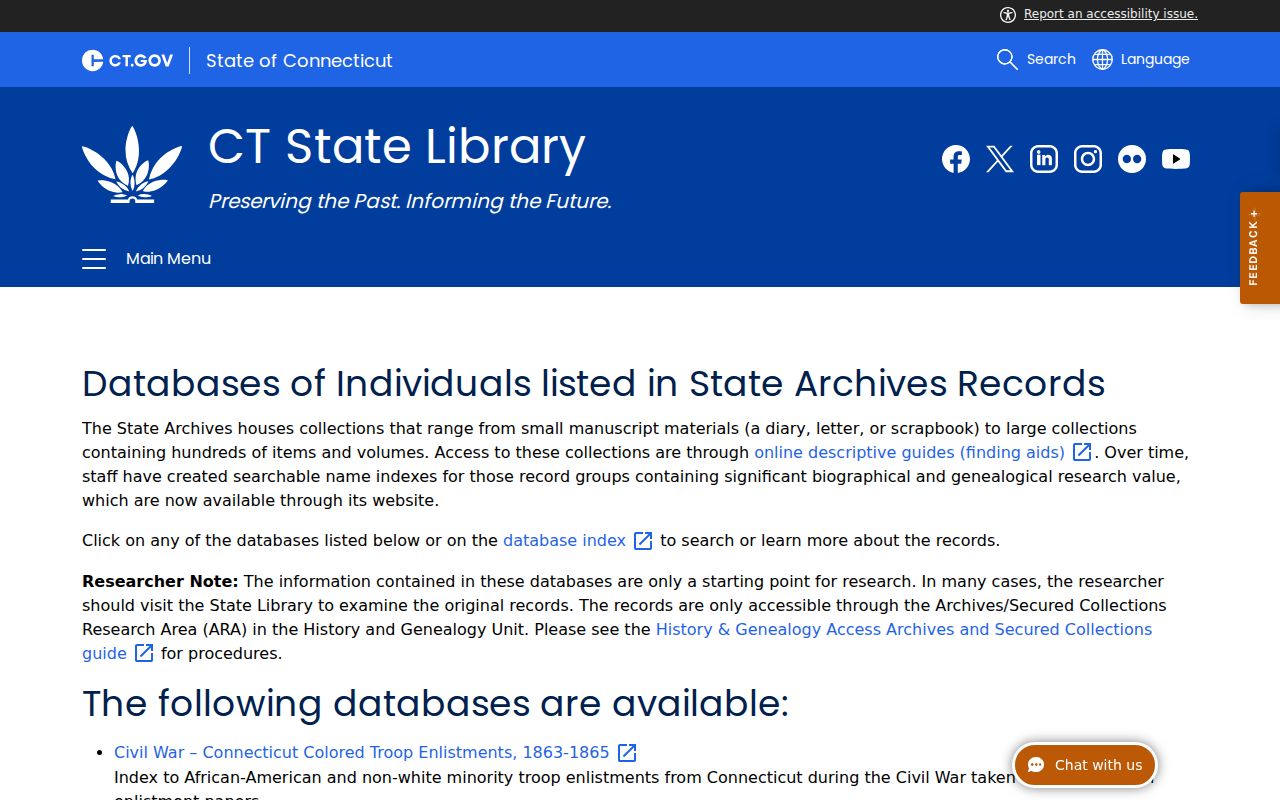
The archive index points toward original records; it does not replace them.
Walk West Hartford Deeds Backward
West Hartford has no county recorder that replaces the municipal clerk. Land records stay with the West Hartford Town Clerk. RecordHub is the online route, but its public shell did not reveal a first online year or an open search form. The free counter remains the sound fallback in Town Hall, Room 313, during land-record hours of 8:45 a.m. to 4:15 p.m.
- Find today’s parcel in VGSI and copy its MBLU, owner, and book/page.
- Open or request that purchase deed. Note the grantee, grantor, date, deed type, description, and prior reference.
- Search the seller as a grantee. Match the lot and legal description, not the name alone.
- Repeat each transfer. Continue at the counter when online access ends.
- For a split or merged lot, follow its plat before returning to the street label.
- Grantor
- The party transferring an interest in land.
- Grantee
- The party receiving that interest.
- Chain of title
- The linked transfers for one parcel.
- Legal description
- Lot or boundary words that identify land after an address changes.
A deed proves a recorded interest on a date. It does not prove that the named party lived there.
Map Earlier West Hartford Addresses
The library’s historical maps include 1896 and 1909 atlas plates and indexes. The library also identifies maps from 1869, 1920, 1923, and 1931, though online plate access varies. The Library of Congress 1923 Sanborn set contains 50 sheets with building and street detail.
West Hartford law lets the town assign or change street numbers. A local account reports more than 25 street-name changes from 1890 through 1930. Compare road names, nearby intersections, owner labels, and lot lines. A Sanborn footprint supports building history, not household identity.
Note: Save both old and current address forms so later searches stay tied to the same land.
Confirm West Hartford Previous Residents
Once the title chain supplies a date and surname, directory volumes can test occupancy. Geer’s Hartford series spans 1838 through 1929 in the researched collection. Entries may show a home address, occupation, spouse, or business. Price and Lee and Johnson published other local runs, but exact spans were not verified. Collection details belong on the West Hartford city directory page.
Use this flow: deed date → nearby directory → matching census → newspaper or obituary. Federal census schedules are released under the 72-year rule. Compare addresses, neighbors, household members, and occupations because an enumeration may use an old number.
- Search the known surname near the deed year.
- Reverse-check the street and number when an address index exists.
- Compare the closest released census and nearby homes.
- Use local news to test a later move or family link.
Geer’s added cross-references for names that sound alike, widows’ maiden names, and room numbers in the late nineteenth century. Try those variants before calling a record absent.
Date West Hartford Building Changes
The CityView portal offers public application status, inspection information, and property permit history. Building, Engineering, Planning, and Zoning use it. Accounts are needed for filing and uploads. Town kiosks and staff provide another channel.
Older permits use a separate public-documents route, and no verified cutoff divides it from CityView. A permit may explain when a house, addition, or lot change entered the record. It identifies project activity, not the past residents at the site.
Compare the permit date with VGSI’s building year and the mapped footprint. A large project may explain a new unit number or a gap between directory entries. If an application names an owner or contractor, keep that role attached to the name. Neither role establishes that the person was one of the previous residents. Inspection status also differs from completion, so save the status and date shown rather than reducing the record to a simple yes or no.
Note: Ask staff about older documents when CityView returns no result.
West Hartford Lives Beyond Deeds
The Noah Webster House catalog began bringing collections online in 2026. The historical society also holds architectural surveys, neighborhood histories, diaries, scrapbooks, and hundreds of photographs of homes, firms, events, and residents.
Open the official catalog before viewing the captured interface.
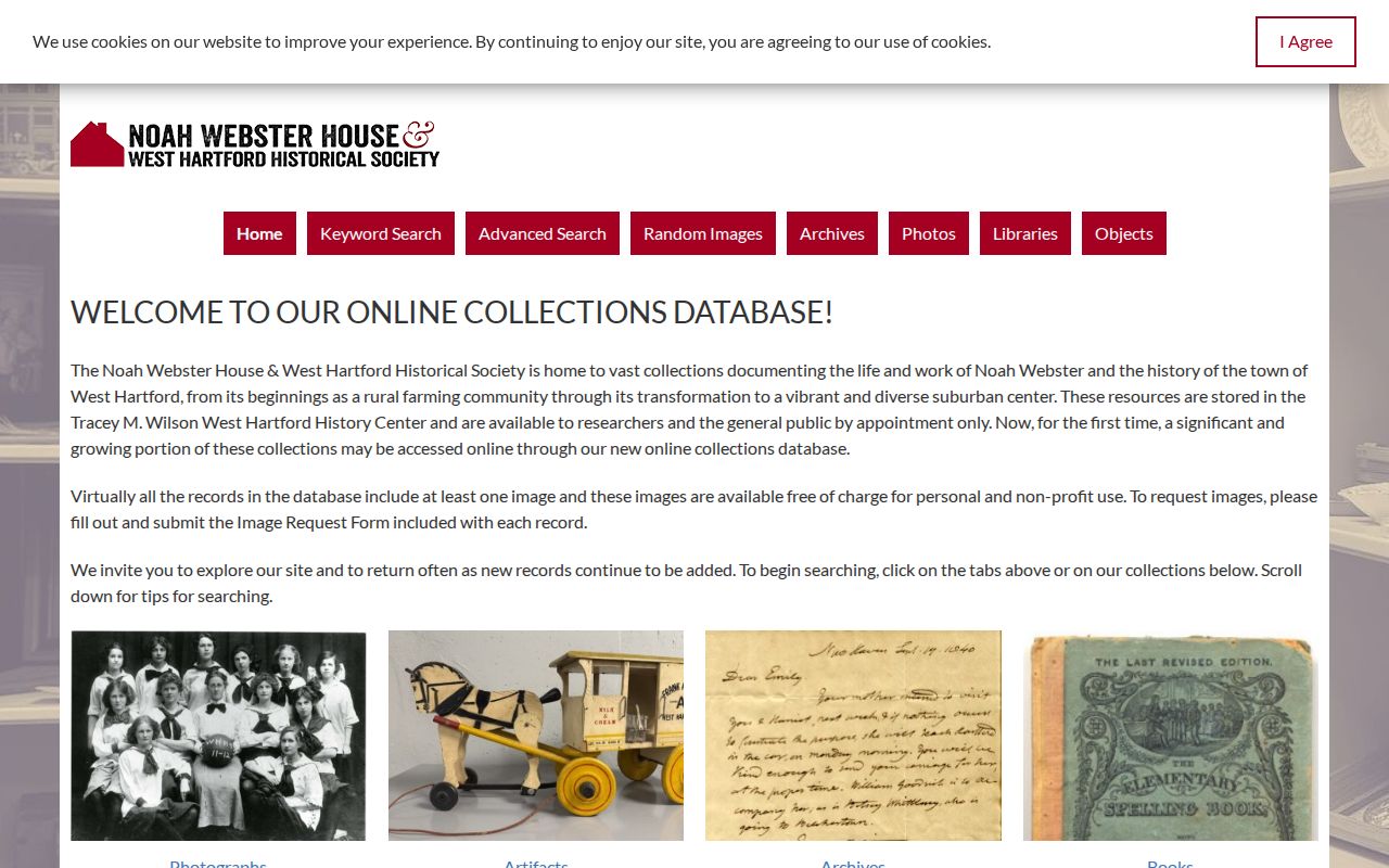
The new catalog is one door into a broader physical collection, so staff help still matters.
The town’s historic-sites overview identifies landmarks that can anchor an old address or family account.
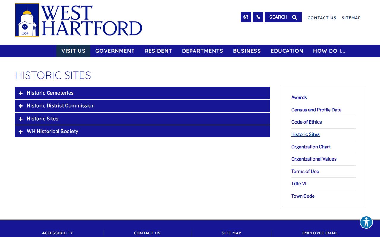
Landmark descriptions add place context, while deeds and occupancy records remain the proof for previous residents.
Library Historypin photos, yearbooks from 1929 onward, and West Hartford News from 1931 onward add visual and social context. Treat a caption as a lead, not as title or occupancy proof.
Close a West Hartford Household Trail
Obituaries, probate files, and cemetery records can explain what happened after a name leaves an address. The Hartford Courant collection has full pages from 1764 through 1992 and a local obituary index for 1982 through 1997. Newspaper files may also report a transfer or civic tie.
Review Fairview Cemetery information before viewing the captured town page.
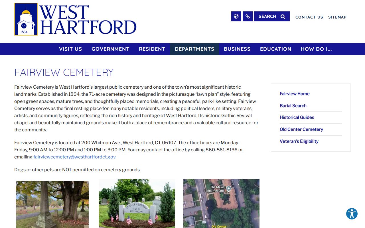
Fairview was established in 1894 and can provide a local endpoint for a documented household trail.
Old Center Burying Yard dates to 1719, with stones from 1725 through 1869; Old North dates to 1790. Burial can support family history but does not prove occupancy.
Probate can identify an estate, fiduciary, or heir trail after death. It still does not show that each person named in the case shared the West Hartford address. Compare dates and relationships with the directory and obituary. For an older name, the Connecticut State Archives may supply an index entry while the original file remains a separate request.
Use records lawfully. Trace West Hartford previous residents for house history, genealogy, estate work, or personal curiosity. Never use the trail to threaten, track, or harass a living person.
Label each finding with care: assessor says owner or mailing contact, deed says recorded party, directory says listed occupant, and census says enumerated household.
A final research log should preserve the source URL or shelf mark, access date, printed date, exact name spelling, address form, and the role shown. Note conflicts instead of choosing the most convenient result. If one deed uses an old lot description while a later card uses MBLU, retain both and use the plat to connect them. When a street number changes, cite the map or directory year that shows each form. These details let a future reader retrace the chain and distinguish a proven transfer from a likely household connection.
Keep copies of negative searches as well. A dated no-result screen can explain why the Town Clerk counter, librarian, cemetery office, or archive became the next step, without turning a portal gap into a claim that no record exists.